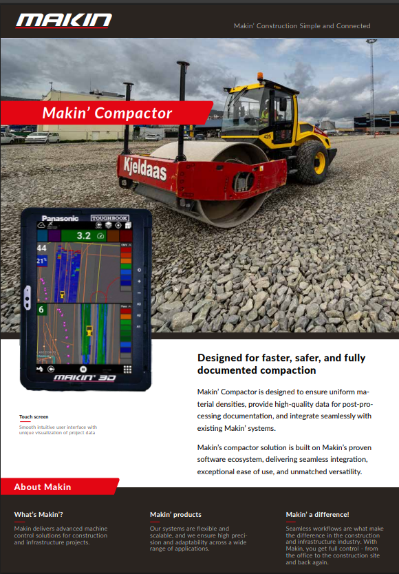
Makin’ Compactor
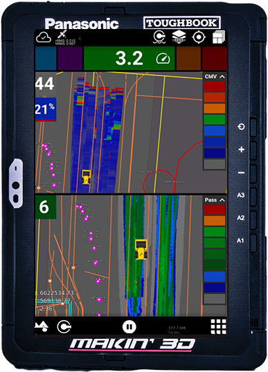
With dual GNSS accuracy and integrated CMV sensor, you can achieve precise positioning, effortlessly avoidance of over or under-compacted areas, allowing operators to monitor the compaction process to meet exact project specifications.
Our system offers clear, color-coded heatmaps with pass counts
and CMV values, giving you a continuous visual representation of
compaction levels for immediate adjustments.
Enjoy the flexibility of working without a pre-defined model – simply add the coordinate
system and start logging points instantly.
Enhance your documentation and quality control by working with
layers from in Makin’ Cloud.
Position & compaction
With dual GNSS accuracy and integrated CMV sensor, you can
achieve precise positioning
Information when you need it
Color-coded heatmaps with pass counts
and CMV values.
Giving you a continuous visual representation of
compaction levels for immediate adjustments.
On the fly
Enjoy the flexibility
of working without a pre-defined model – simply add the coordinate
system and start logging points instantly.
One Platform
Use the tablet between applications. With only one system to learn, it makes it very intuitive to switch between, wheel loader, survey, excavator, tool guidance, and performans. Minimising training time.